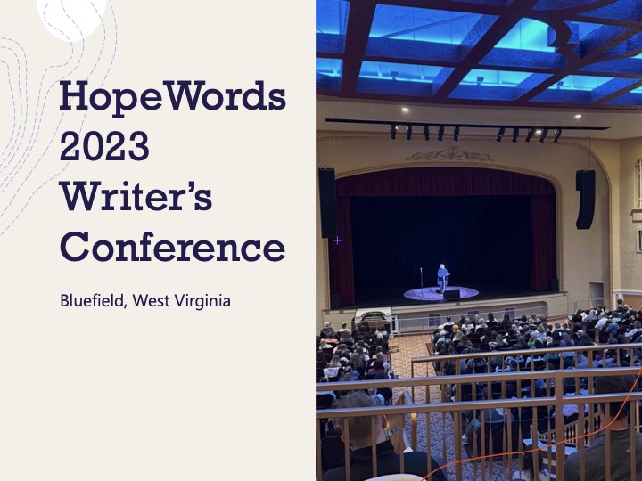
I enjoyed HopeWords Writer’s Conference so much last year, that I attended it again last week. It’s amazing the conference can draw such talent and so many attendees to Bluefield, West Virginia. The city which grew up around a railroad hub to serve the coal mines in Southern West Virginia isn’t an easy place to access. There are few flights to the city, there is no longer passenger train service, and even the main interstate bypassed the city by nearly a dozen miles to the north. But this year, the conference sold out of in-person tickets and brought in an incredible line up of authors.
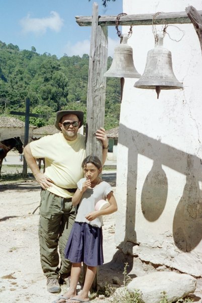
A tour of Bluefield and the surrounding area
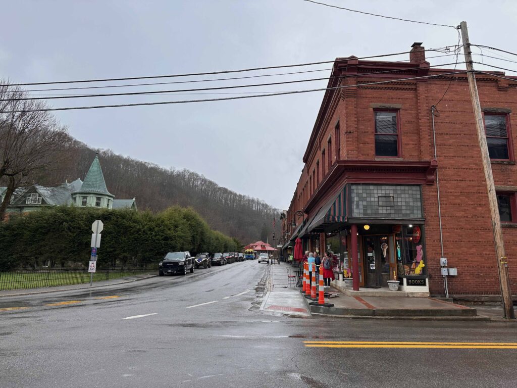
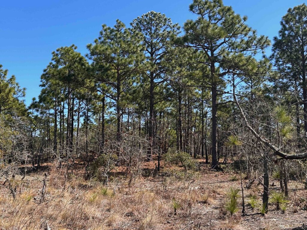
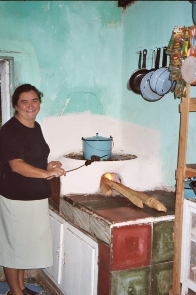
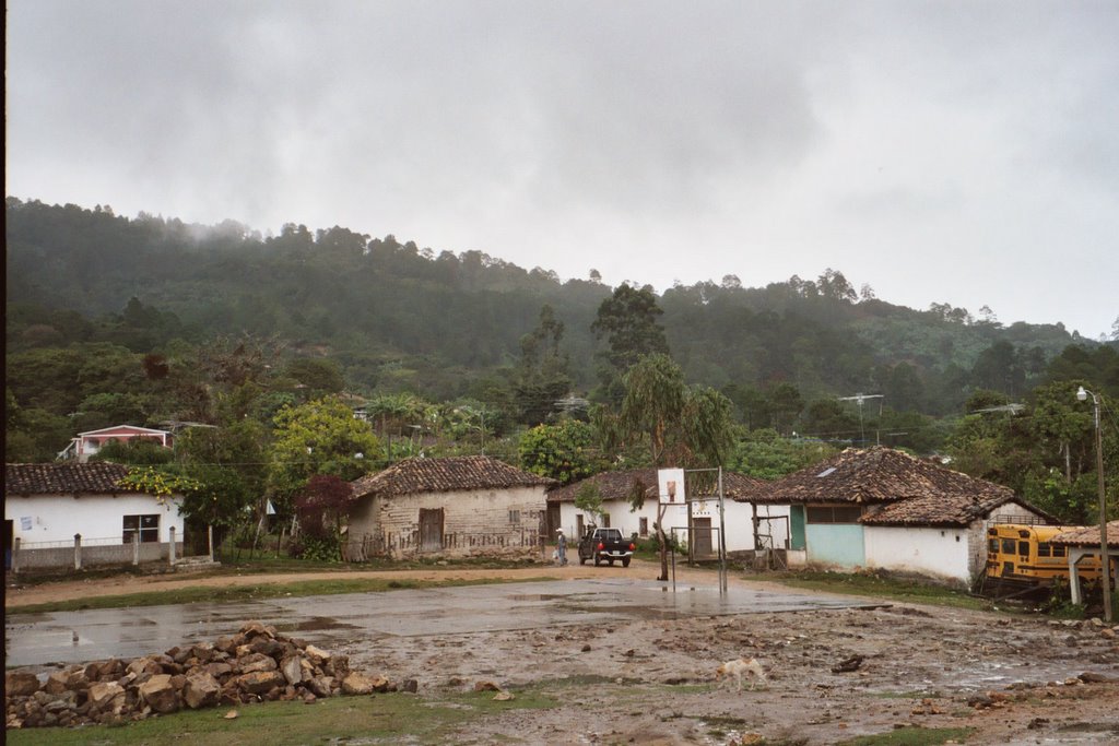
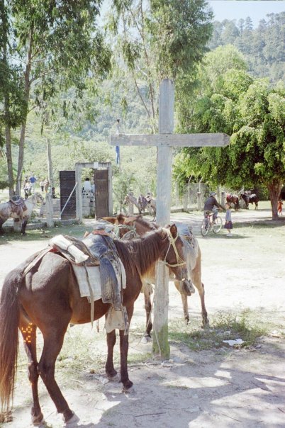
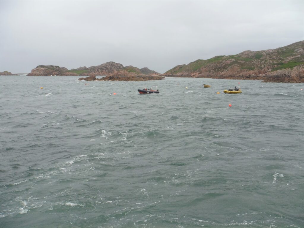
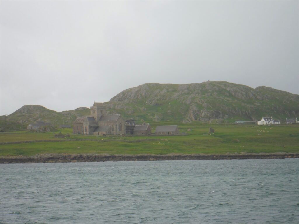
This year they offered something new, a tour of the Bluefield area before the conference began, which took us around the city and to Bramwell, a city at the end of the Pocahontas coalfields. In our bus tour we saw some incredible scenery as well as examples of poverty of the region. After driving around Bluefield, our first stop was Bramwell, a town located west of the city. In the late 19th and early 20th Centuries, Bramwell was where the bigwigs who managed the Pocahontas mines lived and many of their mansions have been restored. During this time, the miners lived in shacks in small communities close to the mines. Today, Bramwell is famous for those wanting to four-wheel through mud. While touring this town, we were treated with the best milkshake in West Virginia at a restaurant in the old pharmacy. Our tour also took us east of Bluefield, up the winding highway 58, to overlook the city. This was the way you traveled through the mountains before the interstate with its mile-long tunnels was completed forty years ago.
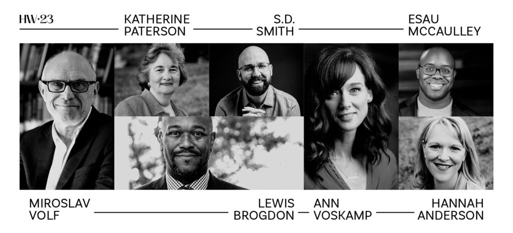
The Conference
Miroslav Volf
The conference began with the keynote speaker, Miroslav Volf, a professor of theology at Yale. I reviewed his book, A Public Faith earlier this year. Volf spoke with sadness on how the university has given up on helping students understand how to have a meaningful life. Instead, starting in the 70s, the shift has been more on the means to a good life with the emphasis on students to “follow their dreams.” As he points out, when we follow our dreams, we pursue our means. The means then become our goals. A second challenge is that the old order in western philosophy has been replaced by a more pluralistic idea. In response to this shift, while acknowledging that we live in a pluralistic world, Volf began at Yale a program to have students explore what a good life looks like in different traditions around the world. As each tradition have claims on the truth, his goal was to have students seriously consider each claim by asking thoughtful questions about the good life and to whom we are responsible.
The question about to whom we are responsible led Volf into a discussion of his own faith in Jesus Christ and on how the myth that we are individuals disturb our world. We are not just individuals, but individuals who depend on one another and share a common vision. With Christians, this includes not just the living but also the dead (the community of saints).
Volf left us with two questions that disciples (and all people) need to ask themselves.
1. How do we want to make the world better, and
2. To whom are we responsible.
Volf on Saturday afternoon
Saturday, after lunch, Volf reappeared on stage with a discussion led by HopeWords’ founder, Travis Lowe. Here are some highlights:
- “The story of the Bible is that God decided to make home among us.”
- “I never write with the idea of audience in mind, instead when I write, I wrestle with ideas I’m interested in.”
- “The chief virtue of a theologian is to be humble. We want to say something true about God.”
- “We hope in God which means the future we hope for might be different than what we now think.”
- Quoting N. T. Wright: “The future is not for us to be raptured, but for the earth to be restored.”
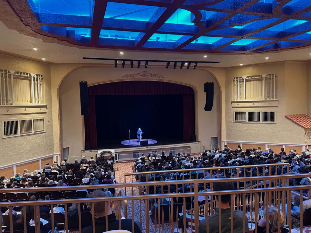
After Volf left the stage on Friday evening, we were treated with a concert by a bluegrass band, “Chosen Road.” We were also served delicious deserts made by members of local churches.
Saturday morning’s marathon session
Saturday morning was a marathon session with four back-to-back speakers.
Ann Voskamp
First up was Ann Voskamp. I have read some of her online writings but while I was interested in hearing what she had to say, her presence wasn’t what drew me to the conference. However, her talk, for me, was the highlight of the two day event. Voskamp began with the Biblical concept of the scribe (Judges 5:14, Ezra 7:6, Matthew 8:19, etc). She encouraged us to be scribes and to tell our stories within God’s larger story. Drawing on quotes from Martin Luther (“Satan hates the use of pens.”), T. S. Eliot, Dietrich Bonhoeffer, and others, she offered inspiration for us to explore the gritty parts of our lives. “Jesus’ choses the small and the slow,” she reminds us, “so he can be glorified.”
She shared three ways to handle the pen:
- Immerse yourself in the Word (read, understand, & live the Word).
- Realize the power in a parable.
- Trust that something happens beneath our pens.
And four ideas of stories
- What is this book/story a theology of (suffering, creativity, community, etc). Dig into the truth
- What is this book a psychology of (trauma, grief, love, etc). How do we understand, what are our felt needs.
- What is this book a story of? Story is what moves us through a book.
- What is this book an activity of? What is we want people to do after reading our books/stories?
Closing quote: “Shame dies when stories are told in sacred places.”
Esau McCaulley
Next on the agenda was Esau McCaulley. Having read his book Reading While Black several years ago, I was glad when it was announced that he would be one of the presenters. McCaulley, an African American evangelical scholar who studied under N. T. Wright, has found himself in a unique position as he critiques both the white evangelical tradition as progressive Christians.
McCaulley began his presentation by proclaiming that he never dreamed of becoming a writer. His plan, from his childhood, was to be a preacher within the black community. But after writing a few opinion columns, he found the Washington Post and New York Times reaching out to him. Pointing out that most writers speak of the need to find their voice, McCaulley said that for him it was finding his place. Coming from the black church in northern Alabama, going to an evangelical college in the Midwest, then doing doctoral work in Scotland allowed him to learn about place.
He spoke about culture which relates to our places in the world. Culture involves both God’s glory and human failure.
Drawing on 1 John “I am writing to make your joy complete” McCaulley outlined three insights into his writing:
- It must come from me.
- It must involve culture making (adding beauty and tearing down that which is wrong).
- It must involve courage and joy.
Hannah Anderson
Last year, Hannah Anderson told her story, which is mostly outlined in her book, Humble Roots, which I read after last year’s conference. This year, she used her 45 minutes as an introduction for our last speaker, Katherine Paterson, to whom she insisted on referring to as “Mrs. Paterson.”
Anderson pointed out the changes that have come to writing as we live in a social media age. The goal of a writer is not to reveal everything, she suggests. Instead, we are to create characters or to reveal parts of our selves. There are stories we may not want to tell and that’s okay. She points to. Mrs. Paterson as a writer who tells “true” stories through fiction and reminded us of the truth of the Velveteen Rabbit, that real is what happens to you. She ended with a quote from Paterson’s first book, a primer on the Christian faith that was published in 1964, in which she reminds us that “grace tells you that you are not a commodity,” but that God wants to make you real.
In a way, Anderson provided an introduction for the President of Bluefield College to come out and present Katherine Paterson an honorary doctorate.
Katherine Paterson
Paterson began with a quip. “One of the advantages of being old is that you can’t hear praise. Because if you did, you might believe it.” I looked her up on my phone and learned that she is 90 years old! Paterson used the theme of the spies being sent into the promised land and suggested that writers need to be like Joshua and Caleb, who offer hope. She also pointed out that Jesus was a storyteller. Quoting Barbara Brown Taylor, she reminds us that stories need “pockets of silence,” or spaces where we can lay down our defenses and not be demanded for a decision. Instead, story is a place where transformation begins. Jesus does this by letting us decide who to identify within the parables.
Bridge to Terabithia
Years ago, I read Paterson’s book, Bridge to Terabithia, but I didn’t know the backstory of this book, which is her most famous one and won the Newberry Prize. She told about how, when her son was eight, his best friend was a neighbor girl who was struck by lightning while at the beach. Her son felt he had done something bad for her to have died. She struggled with this because she didn’t have a satisfactory answer why the world is a “dark land where bad things happen to good people.” Because we deal with a God of justice and mercy, we must struggle with such situations. Otherwise, we could just pass it off as random event. She wrote Bridgefor herself, as she tried to understand both the girl’s death and her son’s reaction to it. She also noted how there were those who criticized the book and acknowledged that any story that has power also has the power to offend. Then she offered several examples of people who had read the book as a child and reached out to her later in their lives, telling her how the book helped them through dark periods.
Drawing on an analogy of a waiting room for a children’s ICU, she suggested there are two kinds of parents who sit there. One is the Psalm 23 parents who see themselves and their child walking with God through the darkness. The other parents are the Psalm 22 ones who cry out to God in anger.
Quotes:
“We who work with words are loaded with dynamite, but can bring hope and healing to the world.
The most important thing is for the word to become flesh.
Afternoon session
The afternoon session included a discussion with Volf (see above) and a presentation by S. D. Smith and Lewis Brodgan. Because of another commitment, I had to leave before Brogdan spoke, but this year I came away with one of his books which I look forward to read. Last year I found him to be an engaging and thoughtful speaker.
S. D. Smith
Smith, along with Anderson and Lewis, is one of the original founders of HopeWords. He is a fantasy author, which is a genre I seldom read. As a speaker, he’s funny and began by making fun of himself and his lack of awards. His message warned the church that we often push the “creative types” into the enemy’s camp, but that we need such people in the church to help us make sense of the world.
While he doesn’t have an MFA, he used the letters in a different way to illustrate his discussion on writing.
M is for modesty (we write from our own center)
F is for fidelity (we are to be faithful to Christ and his church).
“If our writing is not doxological, it will be diabolical.”
A is for audaciously (we are to be bold).
Smith also reminded us that in the big picture, we are between redemption and restoration (R&R, but it doesn’t feel so relaxing and restful). We are to live “until our death scene.”
HopeWords 2024
Part of next year’s lineup has already been set. The keynote speaker will be Daniel Nayeri, who is an Iranian-American Christian writer and author of Everything Sad is Untrue. Here is the link: https://madetoflourish.regfox.com/hopewords-2024 I hope I can attend again, but I am also hoping to once again attend the Festival of Faith and Writing at Calvin University in Grand Rapids, Michigan. God willing, I plan to attend one of these two events.