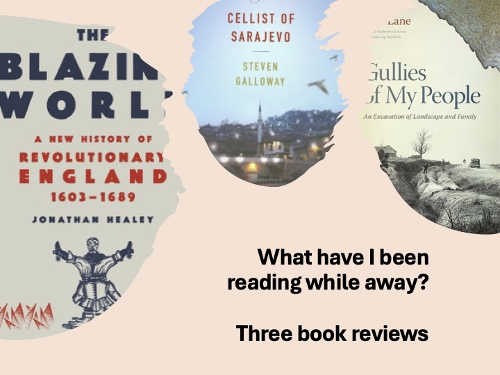

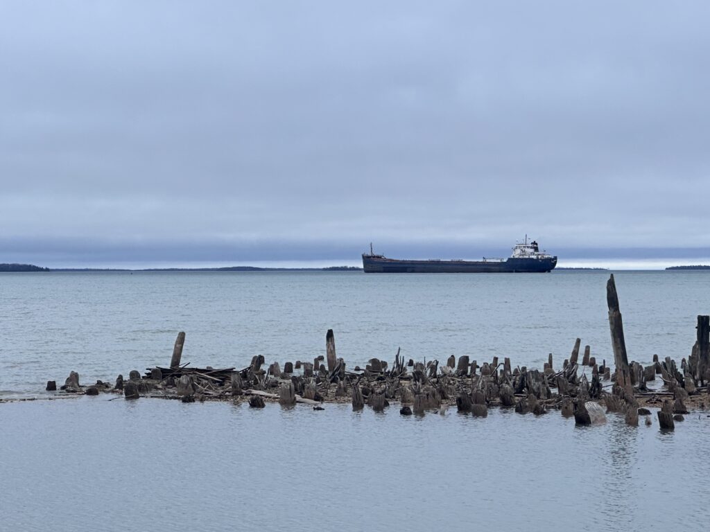
I’m away for two weeks. I left early on Monday, April 9, and quickly drove across West Virginia and Ohio, to position myself in South Charleston for the eclipse. After 2 minutes of awe, I headed up to Michigan. I attended the Calvin Festival of Faith and Writing in Grand Rapids (and will write more about it later). Then I headed up to Michigan’s UP and am in Detour Village for 8 days of reading, hiking, and discussions with a good friend. These reviews are from books read so far during this trip:
Jonathan Healey, The Blazing World: A New History of Revolutionary England, 1603-1689
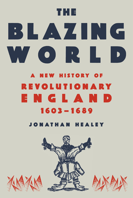
narrated by Oliver Hembrough, (Random House Audio, 2023) 19 hours and 42 minutes.
A lot happened in 17th Century England. It was an age of conflict between ideals.
- Did the king rule because of divine right or at the consent of the population?
- What role would parliament play in a monarchy?
- What was the best way for the citizens to practice religion?
- And would England remain Protestant or would it resort to Roman Catholicism?
These ideas were debated and fought over. It was a century of much bloodshed. From civil war(s) to frequent executions of those who challenged order (from a king, to dissents, to a few condemned for witchcraft), blood flowed freely through much of the century. By the end of the century, with the Glorious Revolution, the Stuart’s dynasty was out and England began to resemble the country we now know.
While listening to Healey’s book, I couldn’t help but think of the parallels to the American Revolution. Taxation was an important issue to both revolutions. In England, only parliament could authorize taxes which curtailed the king’s power. But the king could send home the parliament if he felt things weren’t going his way. The king tried other ways to raise funds, which eventually led to a war between the king and parliament. By the end of the century, parliament had more power and no longer ruled only at the king’s behalf.
Much of the middle of the book focuses on Cromwell. In a way, as the “protectorate” he became like a king. There is much to dislike about him, but the same can be said about Charles I, who lost his head after the first revolution. As a Puritan, Cromwell tried to push Puritanism on England. Not only did this create turmoil in England, but it also drove a wedge between the English and the Scotch Presbyterians and Irish Catholics. Cromwell’s armies killed large numbers in Ireland, and he also brought in Scots to replace the Irish Catholics.
The religious issues were numerous during this era. The Stuart kings looked more favorably on Catholicism than most of their county. Mary’s reign at the end of the 16th Century, which she attempted to steer the country back to Catholicism and executed hundreds of Protestants, left a bad taste for such a tradition. In a likewise manner, the harsh Puritan rule left a bad taste and after the death of Cromwell, England was more than ready to compromise with a king and parliament. While the country maintained an established religion after the restoration, it became more tolerate of other traditions, including the Quakers, Dissenters, and even Catholics. Interestingly, Roger Williams, the founder of Rhode Island and the Baptist tradition in America, played a role in England as he modeled more tolerance toward other traditions.
While Healey mentions the Westminster Parliament which created the Westminster Confession of Faith, he says little about it. Of course, after the restoration, it had little impact in England. However, the Church of Scotland adopted the confession and because of this, the confession has influenced Presbyterians around the globe. (For more information, see my review of John Leith’s Assembly at Westminster).
I may obtain a written copy of this book and spend so more time studying it. I recommend the book because I think understanding the English revolutions helps Americans understand our own history.
Steven Galloway, The Cellist of Sarajevo
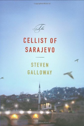
(Riverhead Books, 2008), 235 pages, no photos.
I enjoyed this short novel. Drawing on a real-life event during the siege of Sarajevo, Galloway shows us how people struggled to live in a city reduced to rubble and under constant mortar and sniper attacks from the surrounding hills. After a mortar kills civilians waiting to buy bread, a cellist decided he’ll play a concert every afternoon for 22 days to honor those killed in the attack. Will the cellist also become a victim to those attacking the city?
Galloway uses three characters to tell the story. Each story of survival provides an insight into the tragedy of Sarajevo.
Kenan walks every few days with a bunch of containers to obtain water for his family and an older woman in his apartment building. The city’s brewery is the source for potable water. To make the trek requires a difficult crossing of bridges and intersections that exposes individuals to guns of the snipers in the hills.
Dragan is a baker. His wife and daughter fled the city, but he stayed behind. His home was shelled in the opening days of the battle, so he has moved into a small apartment with his sister’s family. He doesn’t get along with his brother-in-law, but he’s tolerated because he brings the family bread.
Arrow is a young woman who had been on the university’s rifle team. We’re not given her name, at least at first. Her father, a police officer, was killed in the opening battle for the city. Because of her shooting skills, she’s recruited to serve as a sniper. She kills the men who have laid siege to the city. It was an uneasy transition, from shooting at paper to shooting men, but she’s a good shot.
After introducing Arrow as a sniper, she’s called on to protect the cellist. He has become a symbol of defiance and those laying siege to the city want him dead. Studies the cellist’s location, she attempts to get into the mind of the enemy sniper. She almost makes a mistake and the enemy sniper shoots at her, but misses. Then, she kills the sniper even though he hasn’t yet aimed his gun and is listening to the music. The psychological battle between the two snipers reminds me of Liam O’Flaherty’s short story, “The Sniper” which I first read in Junior High.
In a way, Arrow becomes the main character. After protecting the cellist, she has had enough of killing. They assign her to a new group but refuses to kill the enemy civilians. She runs away. Her story ends with the city’s soldiers coming to kill her. At first, she thinks about killing them, but then decides against it. She doesn’t want to be a fugitive and waits. As they bust down her door, she speaks, “My name is Alisa.” While we don’t know what happens, I’m left with the sense she decided her death was preferable to continuing to kill. In this way, she becomes a Christ-like figure in a world of turmoil.
All three characters reminisce about the city’s past and have hope for its future. I recommend this book and found myself constantly thinking about those in Ukraine who now live under such situation with the Russian invasion.
John Lane, Gullies of My People: An Excavation of Landscape and Family
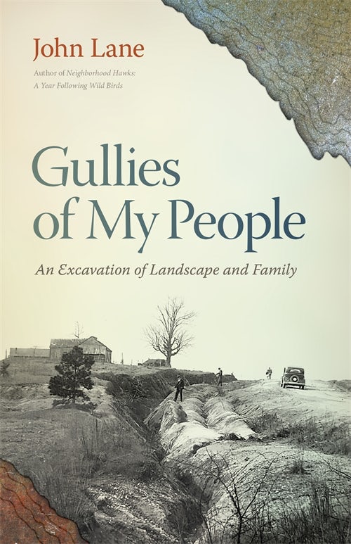
(Athens, GA: University of Georgie Press, 2023), 204 pages including source material and black and white photographs.
Lane explores his family’s past while also learning about the gullies which washed away much of the Piedmont near his home in Spartanburg, South Carolina. The chapters of the book flip back and forth. In some he’s traveling to see where his relatives lived and farmed, often with Sandy, his older half-sister. In other chapters, he hangs out with geologists, studying the erosion of the soil, building their explorations upon the research of the Soil Conservation Service of the 1930s and early 40s. And in others, he writes about his family’s and his own history. Like the gullies, which can never completely heal, the hurts of the past still haunt the lives of the living.
The Second World War creates a dividing line and hangs over the book like a dark shadow. The gullies in the Piedmont were well established before the war, driving many of Lane’s ancestors from the land and into the mills. During the war, Lanes mother, a young mill worker, became semi-famous as a runner-up to a beauty contest for women working in the mills. She would carry around the magazine article with her on the cover for the rest of her life. But her fame flamed out and after her first marriage (Sandy’s father), she struggled with alcoholism for much of her life. Lane’s father spent the war in the army. He served in Africa, on the second wave on Omaha Beach, and across Europe. He suffered emotionally after the war and took his one life when his son was still young.
The war also brought an end to the Social Conservation Service work in the South. It wasn’t that there were more no gullies to study. Instead, the war took away the resources and the scientists became engaged in other activities. Interestingly, among the early soil scientists was the son of Albert Einstein. Lane even has a vision of Albert at the river site of his son’s laboratory on erosion.
In addition to recollecting the memories of his family and learning about the erosion of the land, the book highlights the difficulties of memories. Lane even tells some of the family stories from the perspective of different people to show how such memories can manifest themselves differently.
Toward the end of the book, Lane allows his mother’s a chapter which he drew from her personal journal. In this chapter, we get a sense of her hard life. She died in 2004.
John Lane recently retired from Wofford College, where he taught environmental studies.
From his other writings, I knew Lane and I share a common birth location. Both of us were born in the Sandhills of Moore County, North Carolina. Lane is a few years older than me. He was born right after Hurricane Hazel blew through the area (I was born two days after Humphrey Bogart’s death). Lane spent his earliest years in Southern Pines. I spent my earliest years a dozen miles away, along the Lower Little River, between Pinehurst and Carthage.
Both of us left the area before starting school. Lane’s mother moved him back to Spartanburg after the death of his father. My father moved his family away from our family’s roots after starting a new career. Through this book, I learned of another connection. One thread of Lane’s family (the Mabes) is from Carroll County, Virginia, where I currently live. And, on the eastern side of my property is a large gulley which I suspect washed out after the death of the chestnuts. As I read this book and looked at the cross-cut of the gulley used on the title pages, I couldn’t help but think of my own gulley.