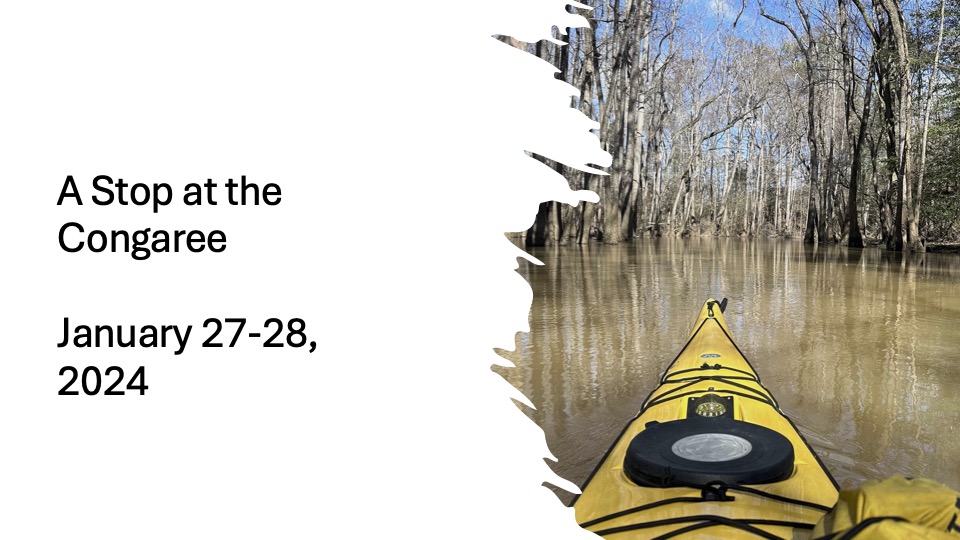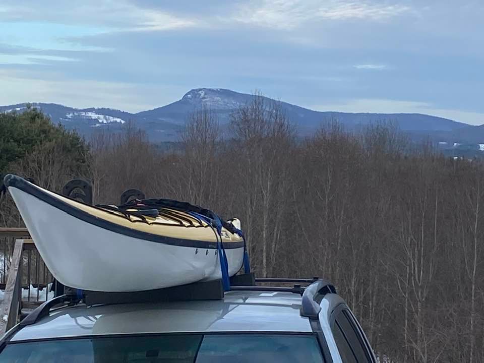
Earlier this month I was able to get away for a week to attend the Theology Matters Conference at Providence Presbyterian Church on Hilton Head. In addition, I was able to spend a few days in the Okefenokee, watching trains, and catching up with a few former co-workers. I left home with temperatures just above freezing, worrying that the rain would begin to freeze. Thankfully, by the time I was down off the Blue Ridge, the temperature was much warmer with no chance of ice. As I continued to drive down, with a kayak lashed to the top of my car, I listened to Gilbert King’s, Devil in the Grove: Thurgood Marshall, The Groveland Boys, and the Dawn of a New America. I’ll review the book early in April.
On the way down, I met Deanie for lunch. During my tenure as pastor on Skidaway, she was an associate pastor and a delightful colleague. We had wonderful Mexican meal at a restaurant just outside of Savannah. We caught up on what’s going on in our lives, with our families, and with friends. Then I turned east and drove to Hilton Head, passing the never-ending sprawl with countless stoplights which has become the South Carolina Low Country. I checked into my hotel, then headed over to the church for a low country boil (shrimp, sausage, corn, potatoes and seasoning).
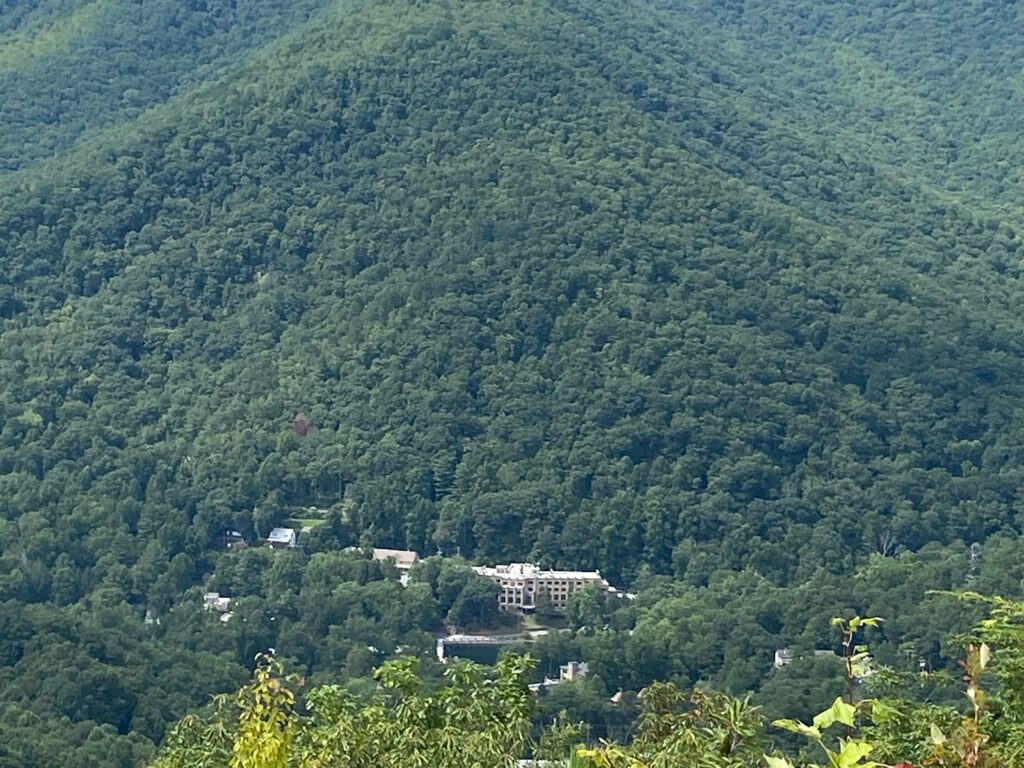
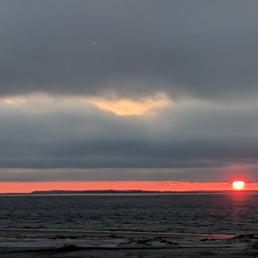
While at the conference I enjoyed catching up with old friends and making some new ones while listening to the speakers at the lecturers. The weather was wonderful, but like always, the island feels overcrowded. I didn’t even walk out to the beach! This year’s theme was “The Good Shepherd Lays Down his Life for the Sheep.”
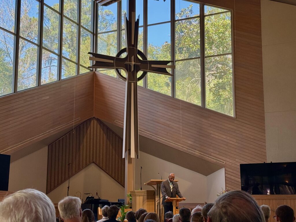
While I enjoyed all the speakers, especially the sermons by Raymon Hylton, Pastor of National Presbyterian Church in Washington, DC, the highlight was Andy Dearman. A retired Biblical scholar who did a marvelous job of weaving the Old and New Testament together around the conference’s themes. While I enjoyed the conference, I kept looking out those beautiful windows at the church. From my pew, I could se the tops of magolias, pines, live oaks decked out in Spanish moss, and sweet gum trees. My mind kept being drawn to the kayak on top of my car and what I’d be doing a few days later…
After the conference, I drove down to Skidaway and met with Jim, who is still the Administrator at Skidaway Community Church. This was my first time being back at the church since the January of 2022, when I was there to officiate at the funeral for a friend. It was great seeing the improvements and hear of the plans for the church’s future. Since I lift, Jim has taken to writing, especially “flash fiction.” He’s even had a couple of pieces published in a local magazine which often published my work when I was living there.
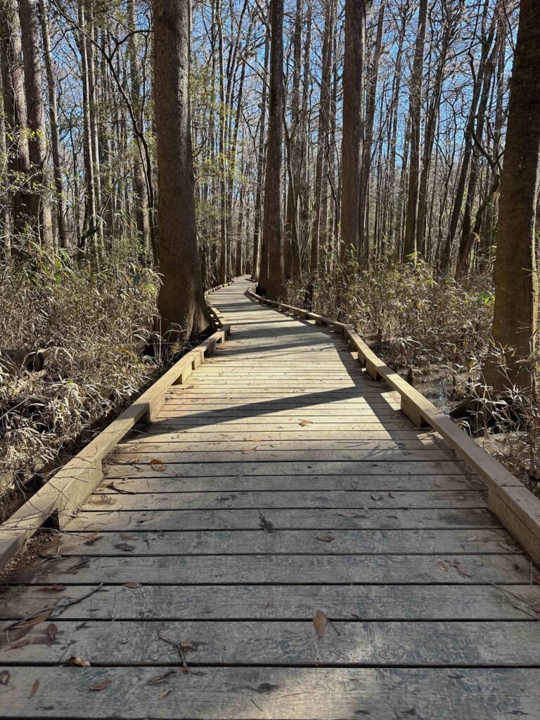
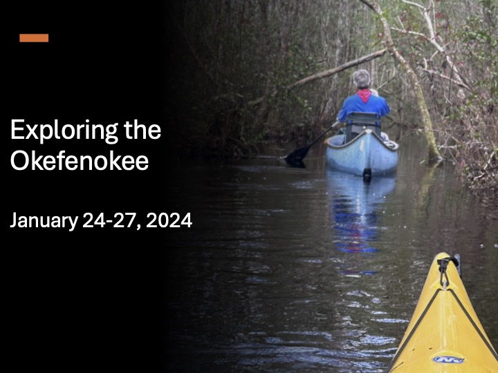
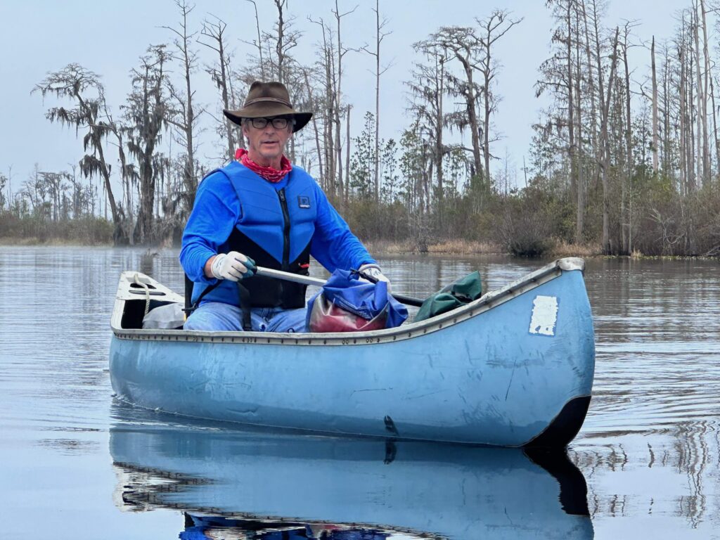
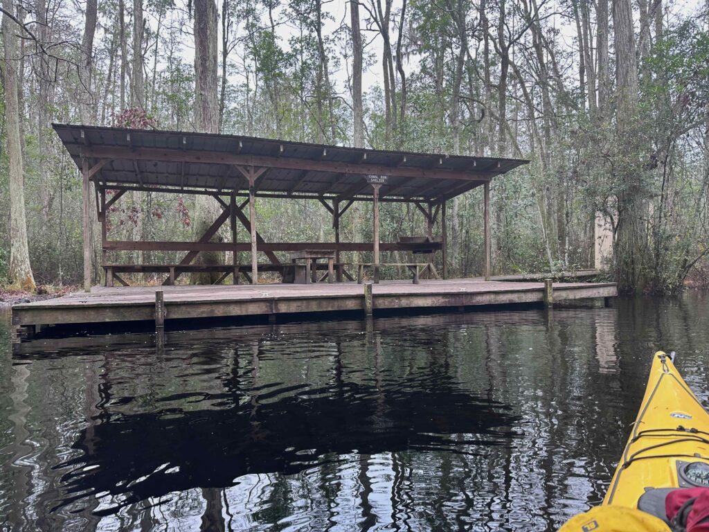
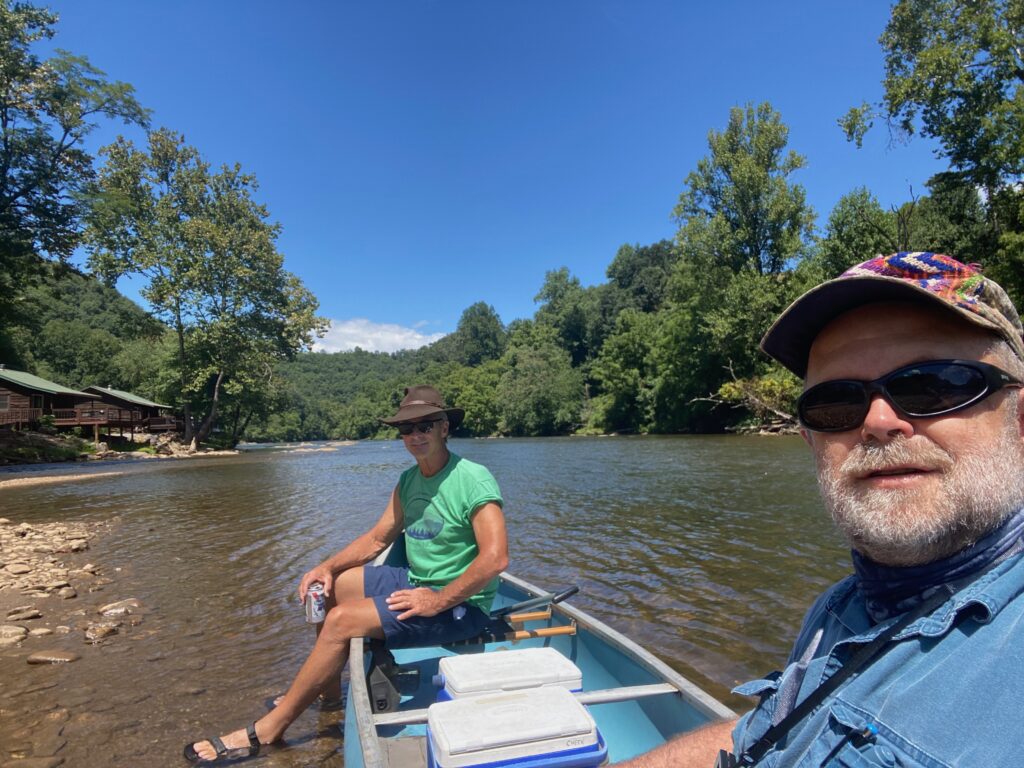
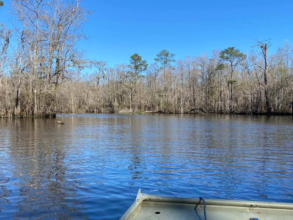
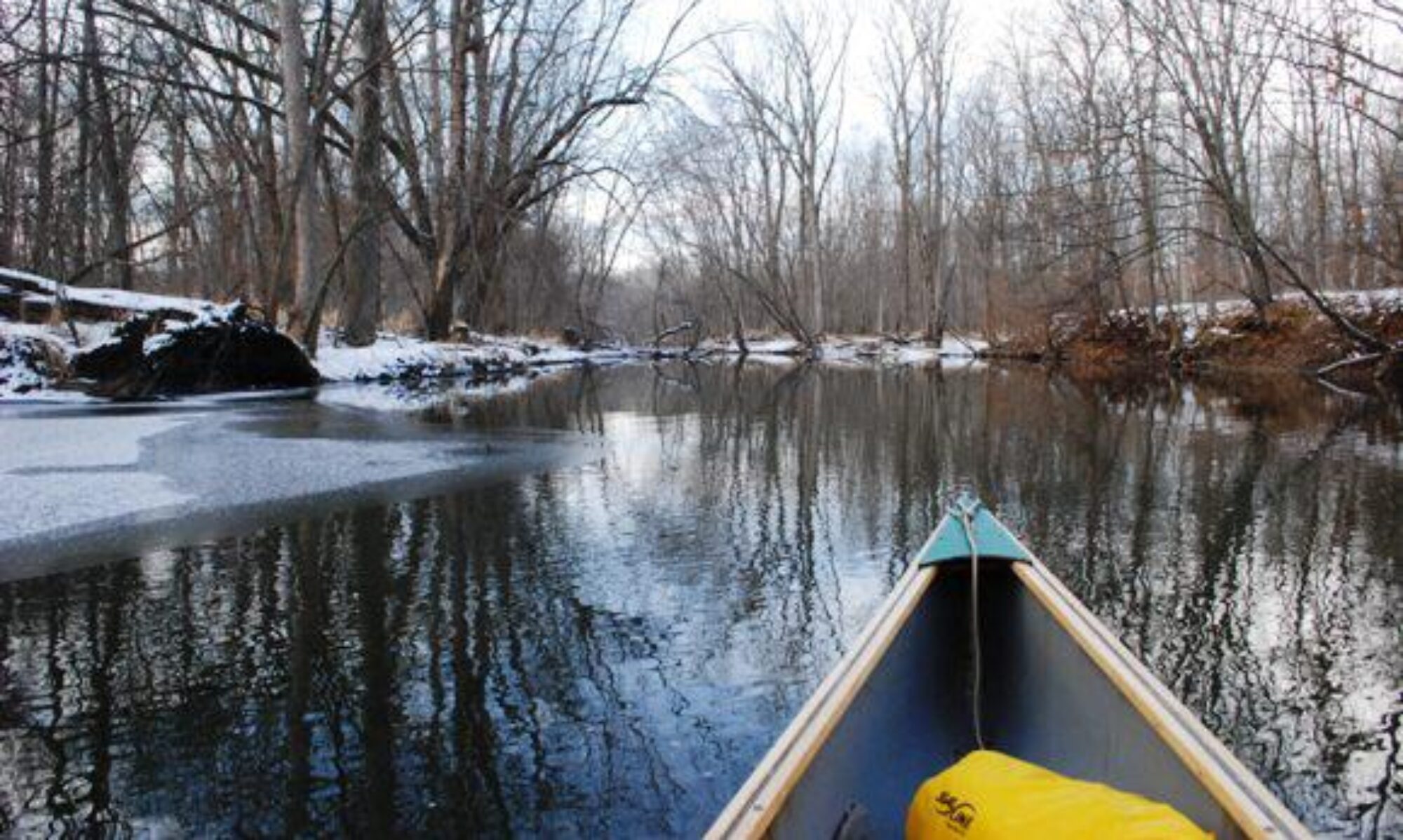
I then drove down to the Okefenokee. I spent two days in the swamp, but was unable to obtain camping reservations inside the park due to the busy season and the low water which cut off some of the canoe trails.
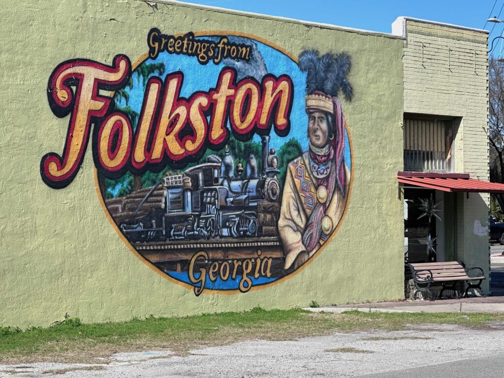
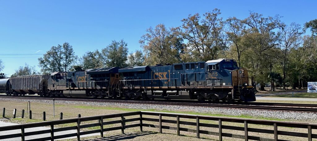
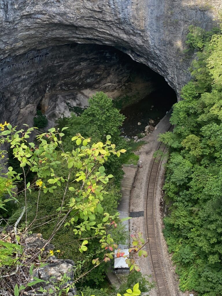
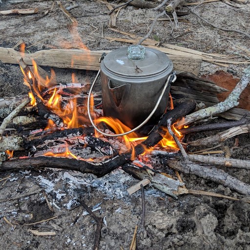
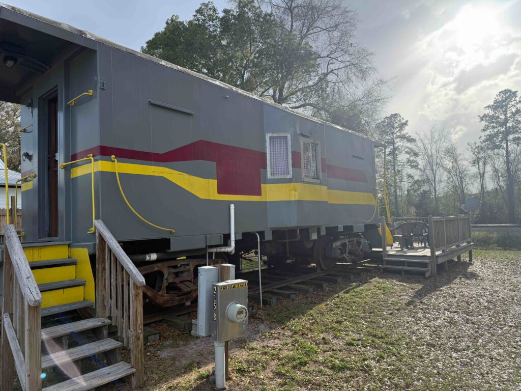
The first night, I was able to stay in a caboose. Folkston is a great place to watch trains as just above the town two main lines merge which bring trains to and from Florida to the Northeast and Midwest. Especially during the night, the tracks seemed busy, often with two trains, one heading north and the other south, crossing at the same time. The caboose was comfortable for me, with a deck out back where I did some writing and reading as I watched trains. There were four bunks on one end of the caboose, a sitting area in the middle and a small kitchen and even smaller bathroom on the other end.
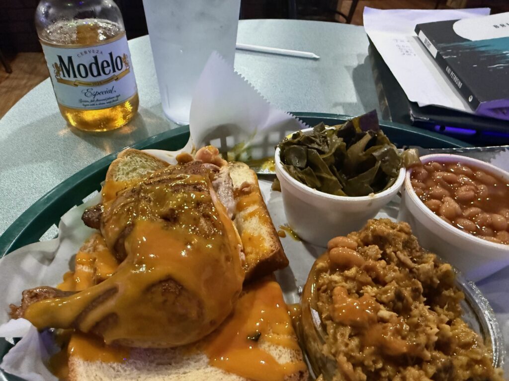
barbecue, collards, and beans
After spending the day in the refuge, and checking into the caboose and then walked over to Jalen’s Barbecue. Many people will probably pass it by as dump, but their chopped barbecue and roast chicken was wonderful. I just wish I had arrived in time to have had ribs, but they’d sold out. And, I can’t believe I’m saying this, but they had the best collards I’ve ever had. They were not mushy and were quite tasty. Normally, I prefer turnip greens, but I’d go for collards if they were that good.
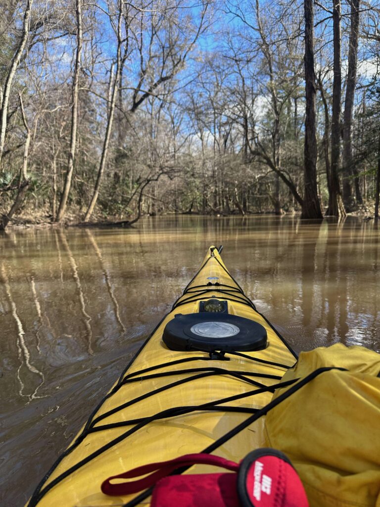
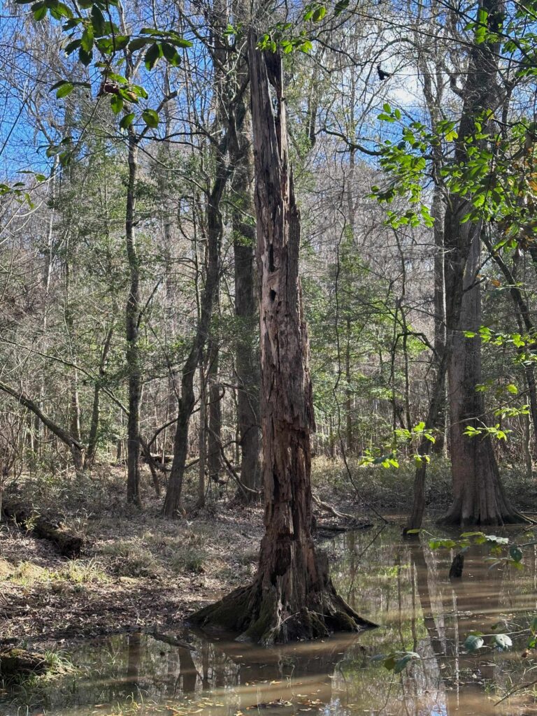
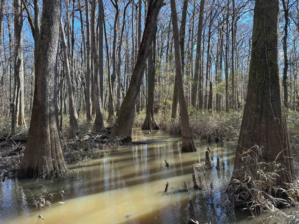
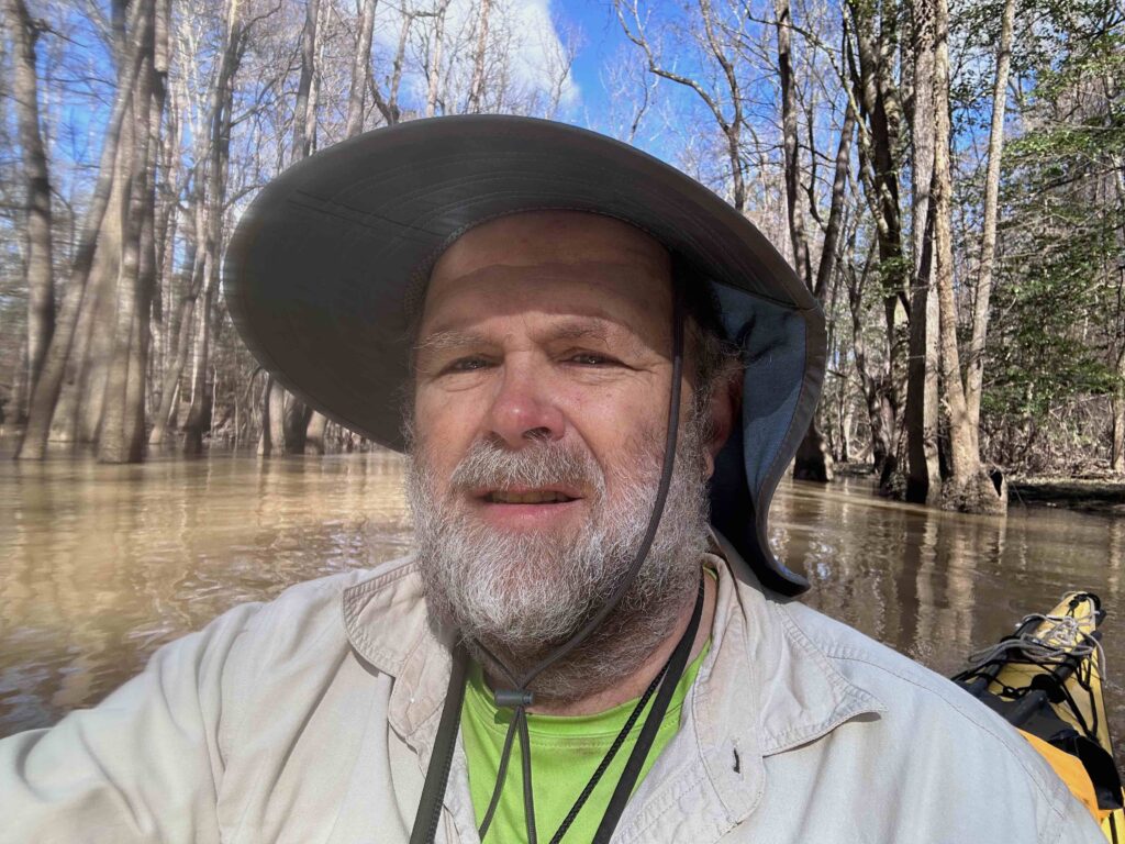
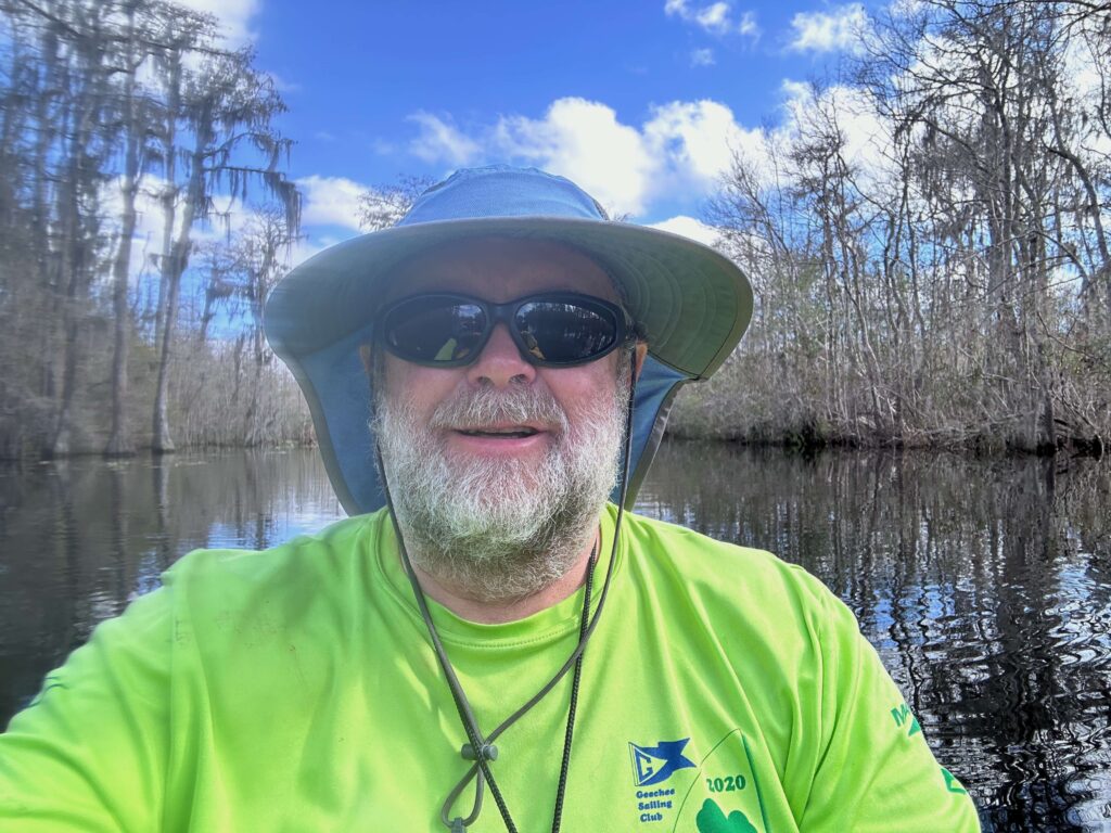
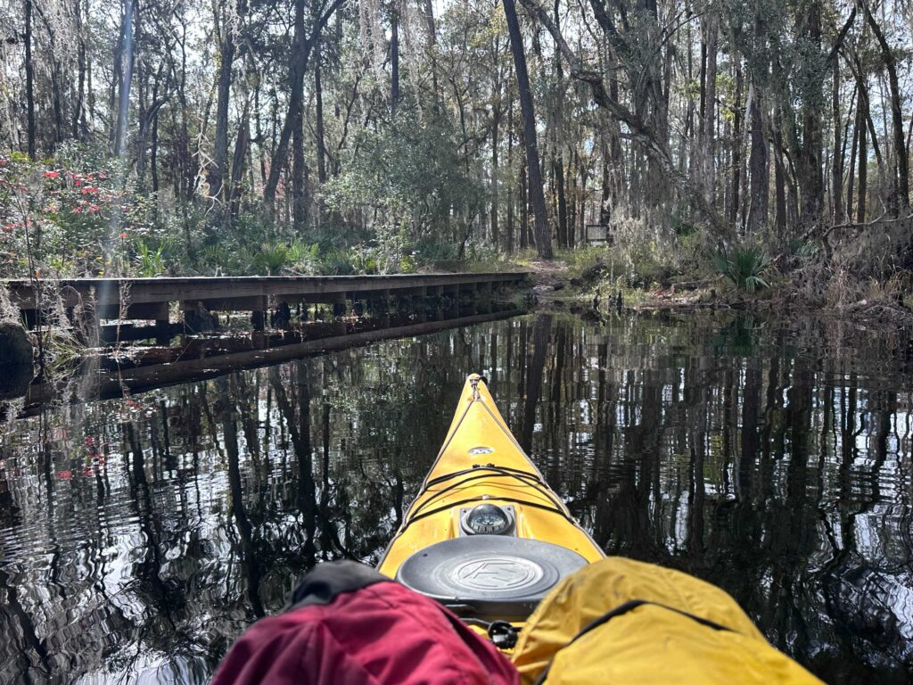
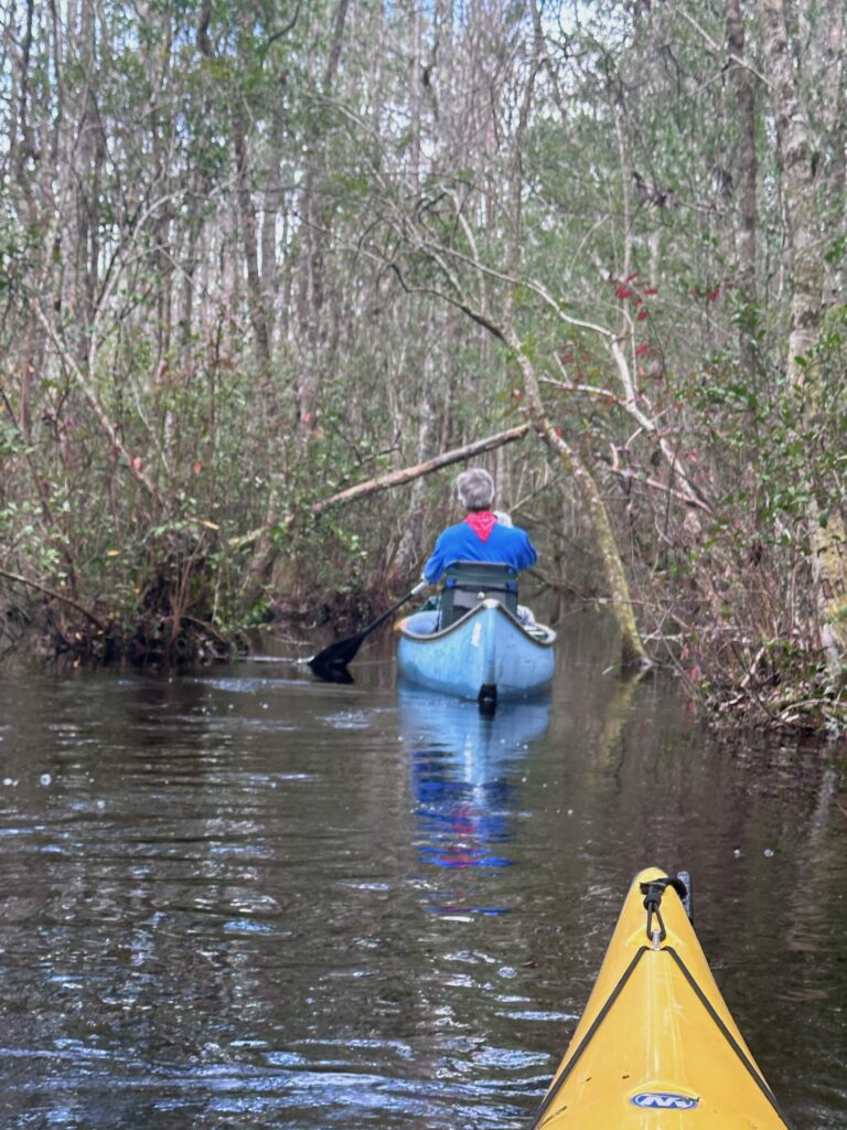
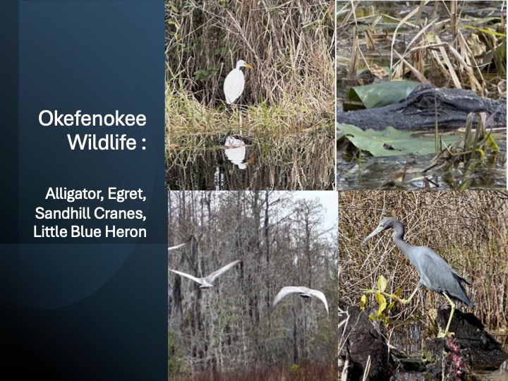
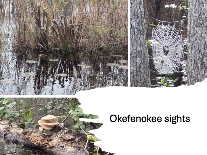
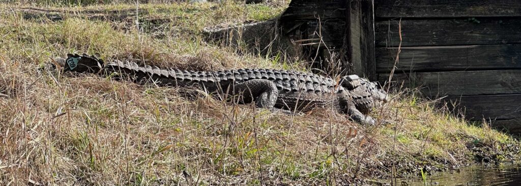
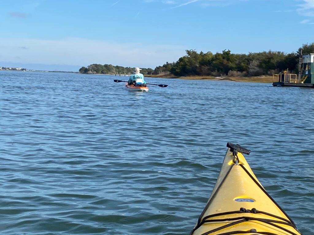
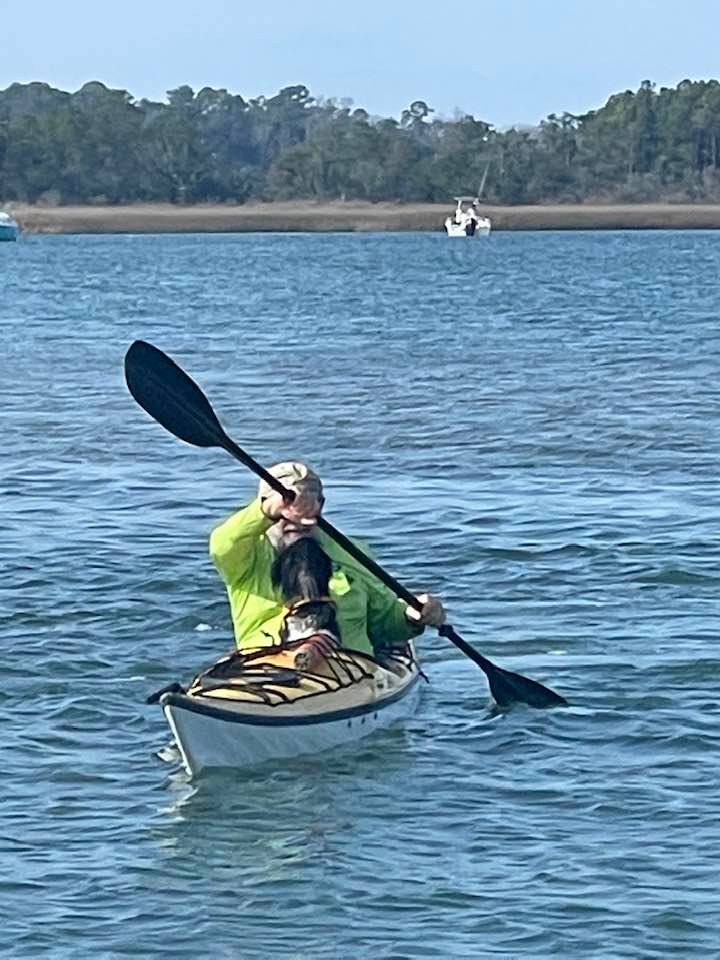
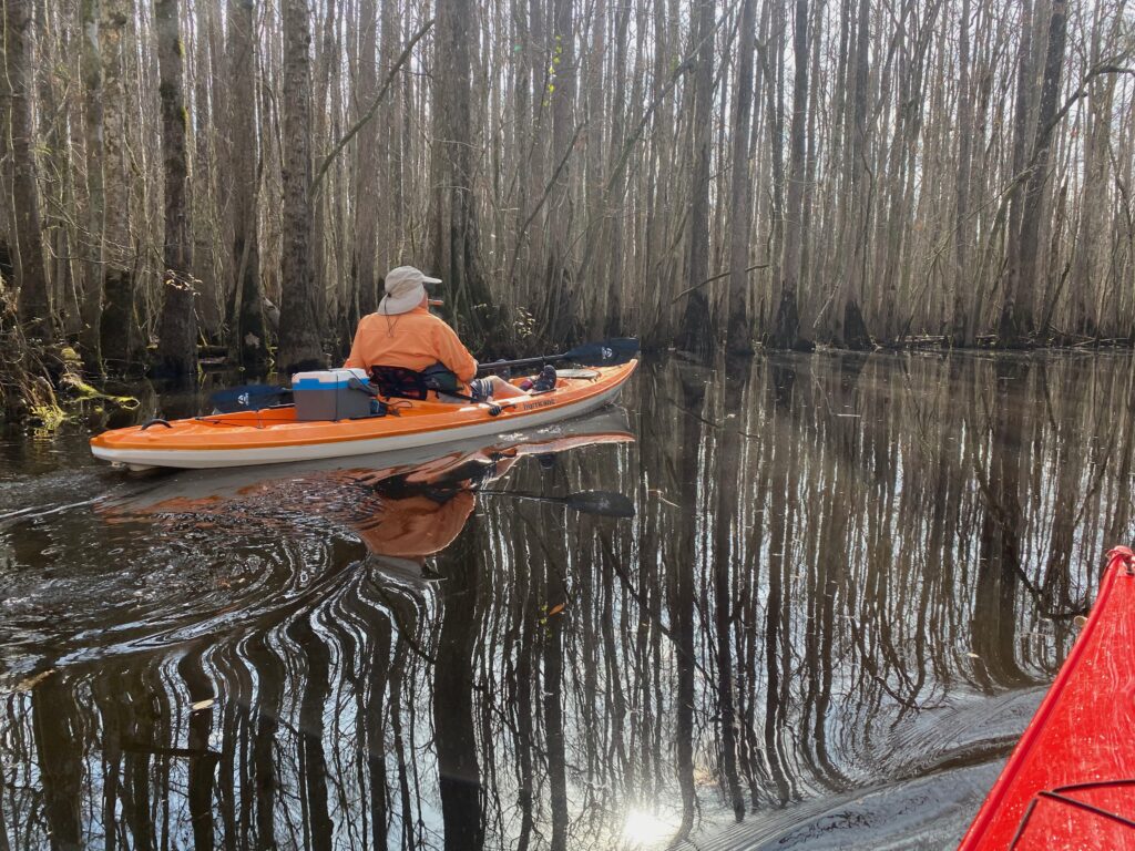
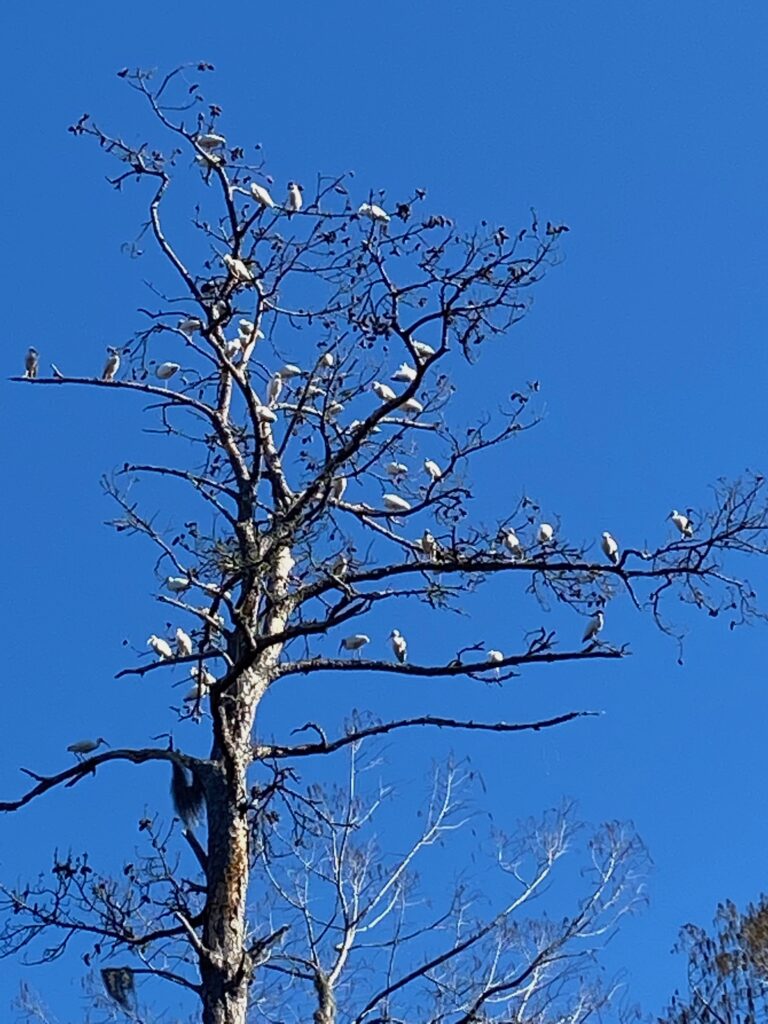
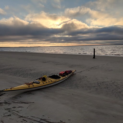
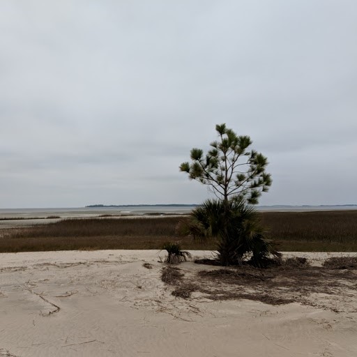
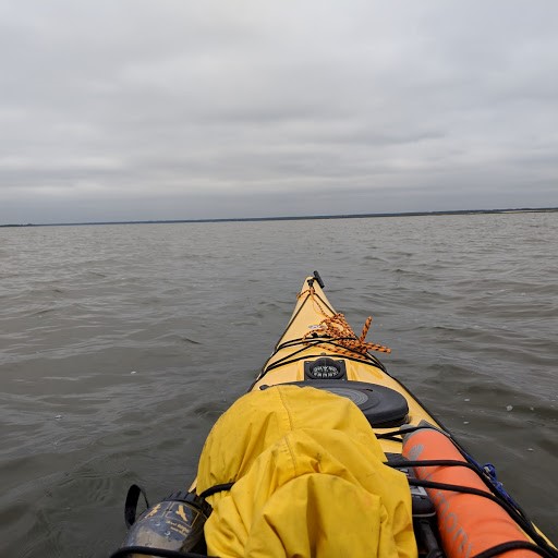
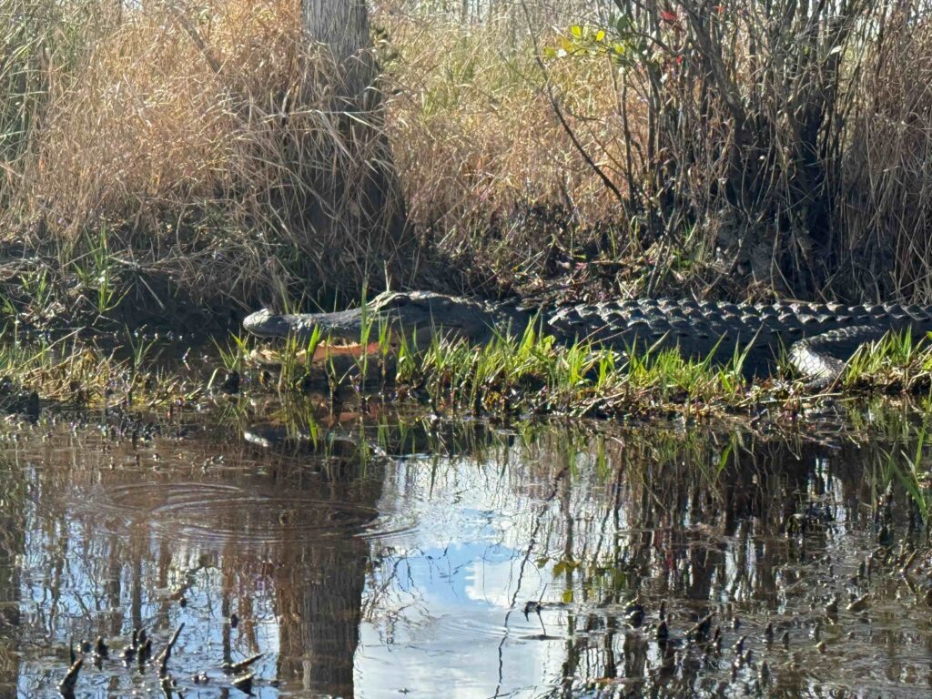
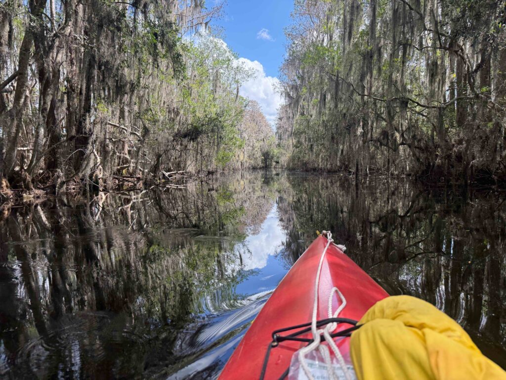
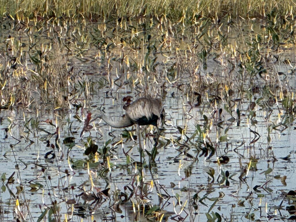
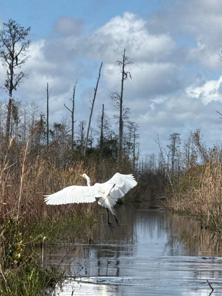
It was weird paddling within the swamp as the water was a couple feet lower than any of my previous trips into the swamp. I mostly paddled Chesser and Mizell Prairies. In previous times, you could paddle across the prairies, but this time the water level kept me in the canals. I was a little early for flower blooms. But as always, birds were plentiful. Egrets, ibis, sandhill cranes, kingfishers, woodpeckers, and so on. There were plenty of turtles and alligators sleeping along the banks.
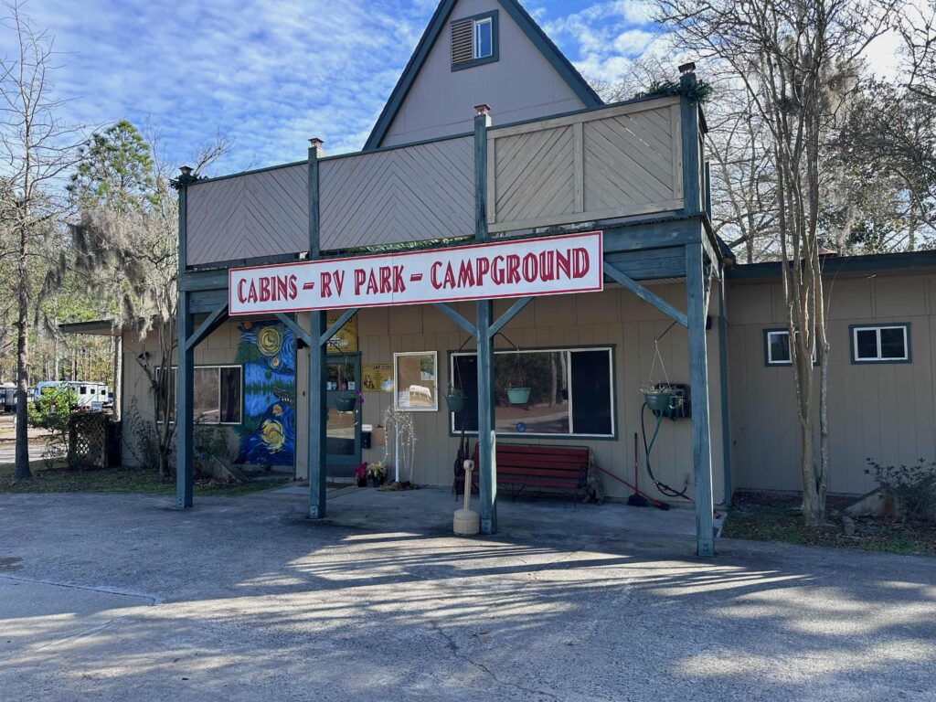
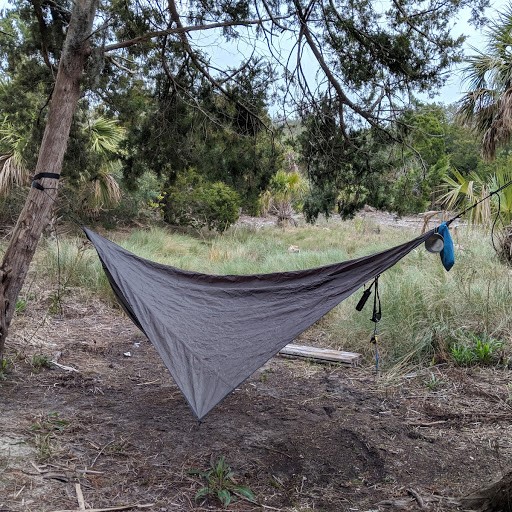
I spent my second night camping in my hammock at Okefenokee Pastimes, a campground and restaurant just outside the park. I had a Philly Che esesteak Sandwich and beer for dinner as I talked with the new owner of the campground. That night, I slept in my hammock. While it was good to camp, I ran around too much with flip-flops and my ankles were well-chewed by sand gnats!
On Sunday, I set my sights north, heading up 301 to Waycross, and then on US 1 up into South Carolina. Somewhere along the way, I finished listening to Devil in the Grove. It began to rain as I crossed into South Carolina, so I slipped over to the interstate and made it home shortly after dark.
This wasn’t my first rodeo… Links to past events
Theology Matters, October 2021
Day 1 of a 5 Day Okefenokee Adventure
Days 2 & 3 of a 5 Day Okefenokee Adventure