As I’m finishing up another vacation of which I plan to write about later, I thought I would catch up on Summer travels. In June, I took a week off. I spent a good portion of the time building a retaining wall, but was able to get away for three days and explore a bit of central Virginia.
Last month I made a three day trip into an unfamiliar section of Central Virginia. Two things peaked my interest. One was to peddle the High Bridge Bicycle Trail. The other was to visit the Moton Civil Rights Museum in Farmington. But while there, I also checked out a number of other sites dealing with the final days of the Civil War. As I written earlier, we moved to Petersburg, Virginia when I was six years old. I spent my first three years of elementary school in the all-white Walnut Hills Elementary School. We lived in Petersburg at the end of the Centennial of the War, I became interested and the war became real. Pieces of cannon balls and mini-balls (bullets) were often found as dirt was moved for home foundations and roads.
Petersburg is also where I have my first memories of race racial tension. We left in the summer of 1966 and you could feel the tension in the air. Petersburg would begin to integrate their school system that fall. There were four of us boys in a two block area who moved that summer. Everyone thought we were moving because of integration, but that wasn’t the case. Dad had always wanted to live near the coast and my brother and I headed with ur family into Southeastern North Carolina. The other brothers, Mark and Mike, moved with their mother to be near family in Michigan. Their father, who was a Master Sargent in the Army at Fort Lee, headed overseas. This time, they were not allowed to go with him. In the spring of 1966, Vietnam wasn’t on our radar. That would soon change. I’m pretty sure that’s where their dad headed. I often wondered if he made it back safely.
Thinking back to the spring of 1966, it’s easy to see how entwined the events of that year entangled with the events 101 years earlier. In early April 1865, after nine months of battle around Petersburg and Richmond, Union forces breached the Confederate lines. Lee had no choice but to pull his army out and make a dash west, in the hope to reunite with another Southern army in North Carolina. For a week, as Lee moved west, northern troops kept cutting off his retreat until finally, seven days later, he surrendered at Appomattox Courthouse.
For whatever reason, we never visited these places when I lived in Petersburg. Maybe it was because there were more than enough Civil War battlefield sites around Petersburg. Maybe my parents didn’t want us to see where the surrendering took place. But it probably had more to do with us taking vacations either in the mountains or along the Atlantic shoreline. Yet, I remember many of the towns around these parts from my father who traveled there for work. He called on businesses and schools around Farmville, Dinwiddie, Amelia, Prince Edward County, and South Boston among other places. Driving along these roads on these dry June days, I found myself wishing I could ask him questions, especially about the schools as he often performed boiler inspections there. I don’t remember him saying much about the difference in black and white schools, but know he visited both.
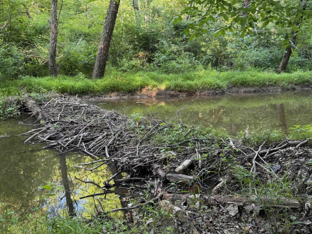
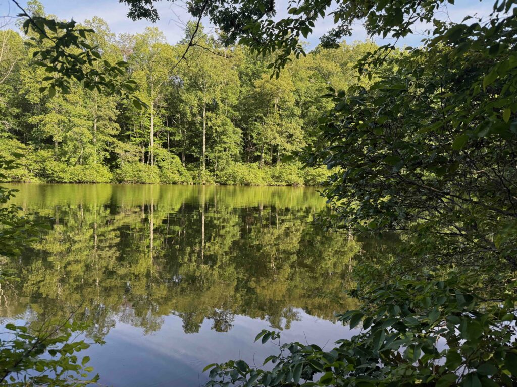
For the two nights on this strip, we stayed at a lovely cabin at Bear Creek Lake State Park. The cabin sat in the woods, not far from the small lake around which the park sat. Most of the park’s features were on the other side of the lake, a walk of a couple of miles in which I saw a beaver, a few harmless snakes, rabbits, and a few deer. After making the walk on the first night here, I came back to the cabin and fixed steaks while enjoying the evening..
At home, I live on a ridge overlooking a hay fields to the north with woods to the south and east. The birds often nest in the trees, but spend much of the day catching bugs or eating seeds in the high grass, while robins find worms in the yard. The thick hardwood canopy shading the cabin provided different bird sounds in the morning: flycatchers, warblers, gnat catches, and blue jays. But we didn’t spend a lot of time at the cabin.
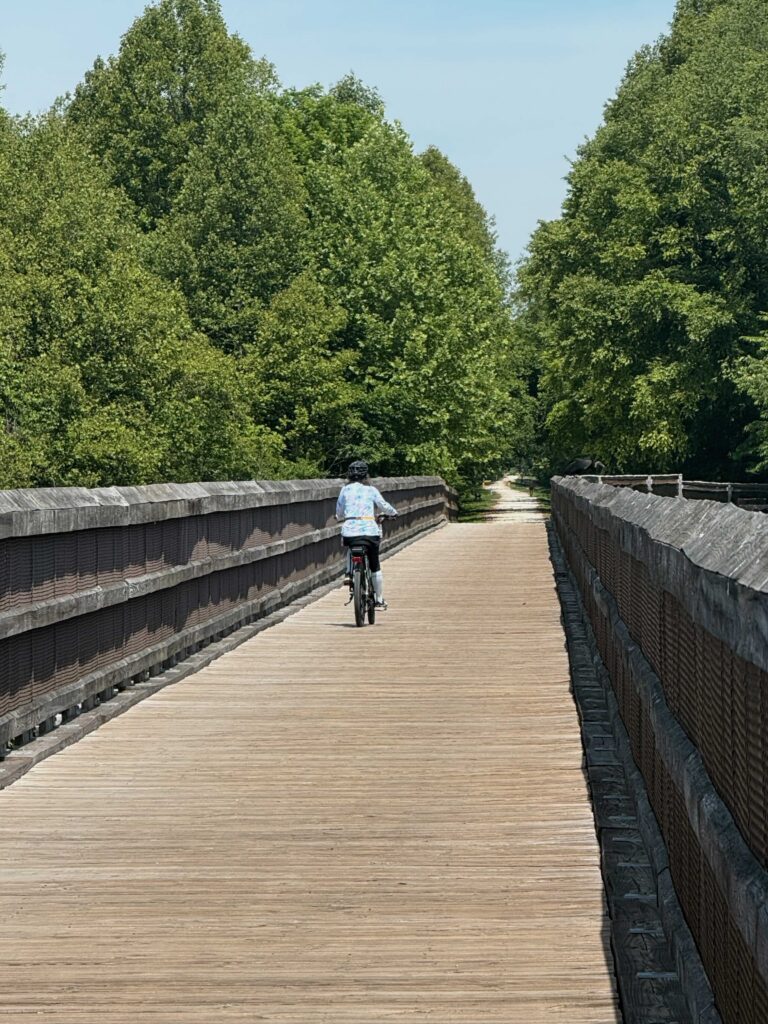
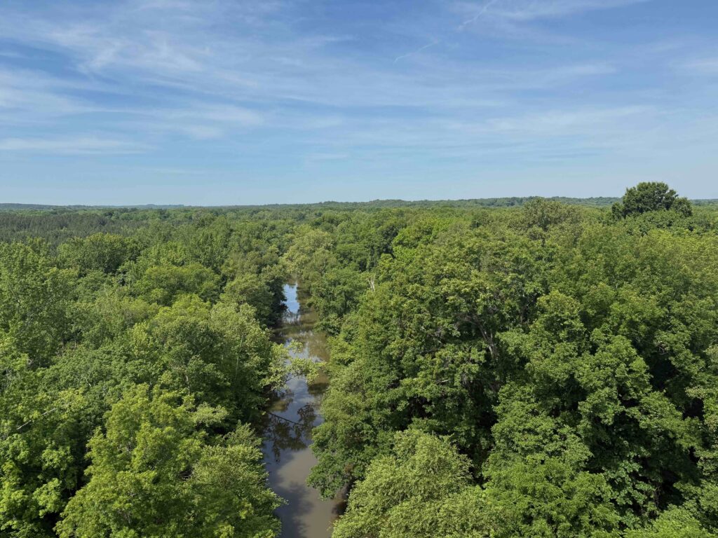
The next morning, we were in Farmville early as the day was going to be hot. By eight, we were peddling on the High Bridge Trail, which runs about 15 or so miles east and west of the city. We didn’t plan to ride the entire trail. The highlight of the trail is the bridge, which is located five miles east of the city. The bridge spans the floodplain of the Appomattox River. The river itself at this point is not very wide, but the bluffs on each side create a half-mile wide valley covered with trees. When we arrived at the bridge, we crossed slowly. The bridge stands barely above the trees, providing interesting observations of birdlife in the top of the canopy.
At the ends of the bridge, plaques showed what the site looked like during the Civil War. The forest of today was absent, the trees having all been cut, probably for timbers for the massive structure. About a half mile after the bridge was a museum with the history of the bridge. One section showed the various tress patterns used in the the bridge, which was rebuilt three times during it’s history.. Another section explained the bridges role in the closing days of the Civil War.
This line, built in the 1840s by the Southside Railroad, linked Petersburg to Lynchburg. It later became a part of the Norfolk Southern Railway. The maintenance on the bridge became to expensive and, with other alternatives linking the east to the west, the railroad abandoned the line in the early 2000s. It’s now a linear state park running from Burkeville to Pamplin City.
This was a bridge that wouldn’t burn. As Lee’s armies evacuated Petersburg and Richmond and moved west, a Union calvary was dispatched to burn the bridge. This could have trapped Lee’s forces which consisted of 1800 wagons. However, the Confederacy had already fortified the approaches to the bridge and repelled the attack. A few days later, after Lee’s army with its massive number of wagons crossed the bridge, the South attempted to burn it. But with the Union forces on their heels, they extinguished the flames and quickly repair the bridge, allowing them to continue their pursuit.
After riding the trail, we headed to the Moton Museum which interprets the Civil Rights struggle in Farmville. This was an African American school which, in 1951, faced a student strike for better conditions. While the law required separate but equal facilities for all races, this wasn’t the case.
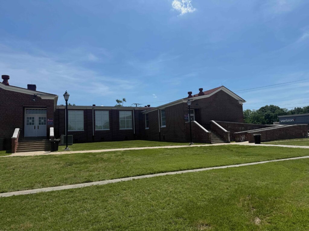
Students at the Moton School used old text books from the white schools. When room ran out in the older building, the school board built tar paper shacks around the brick building, where students froze in winter and sweated during the warmer months. There was no gym or shower facilities as in the white high school. In 1951, the students walked out. This was considered the first civil rights protest in the South. Later, this area saw white resistance to court ordered integration of schools. Instead of integrating, they shut down all the schools for several years. During this time, white students mostly moved to church sponsored schools and to this day, the racial divide continues between private and public schools.
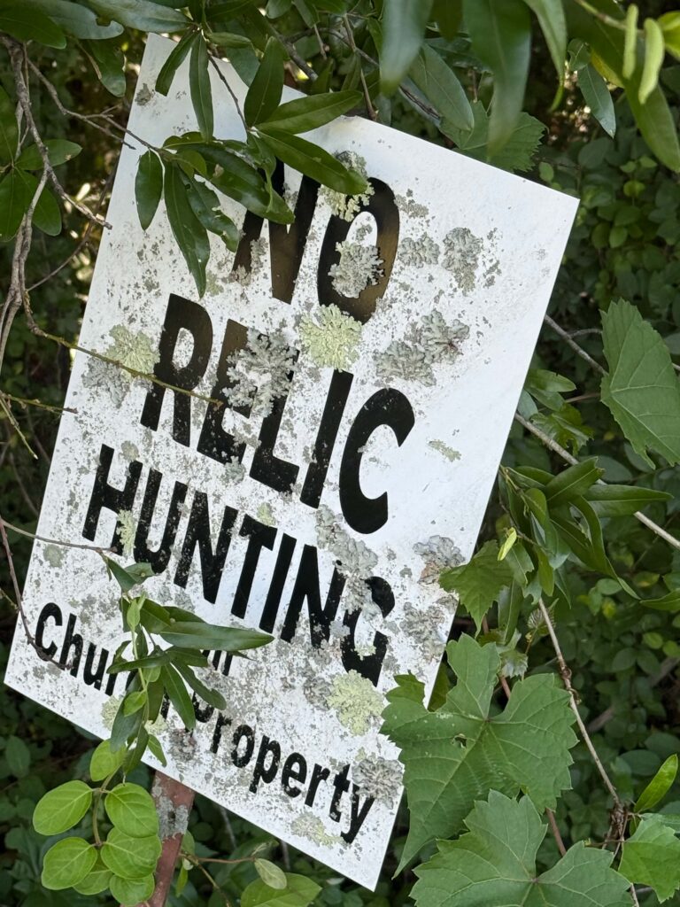
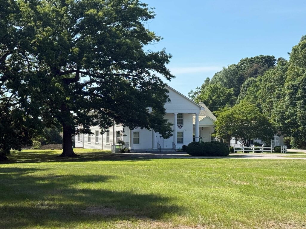
After two hours touring the museum, we headed out to Sailor’s Creek and then Cumberland Presbyterian Church. Both of these locations where locations of battles toward the end of the war. At Sailors Creek, the Confederates had difficulty getting all the wagons over the two bridges crossing the creek. While they repelled the attack, allowing most of the army to escape, about a quarter of Lee’s army surrendered. The end at Appomattox was only 72 hours away. Cumberland Presbyterian Church, which is about 5 miles north of Farmville, was another blocking battle where a few units of Lee’s army attempted to slow Grant’s army. On the edge of the property of this church was a sign I’d never seen on a church ground: No Relic Hunting!
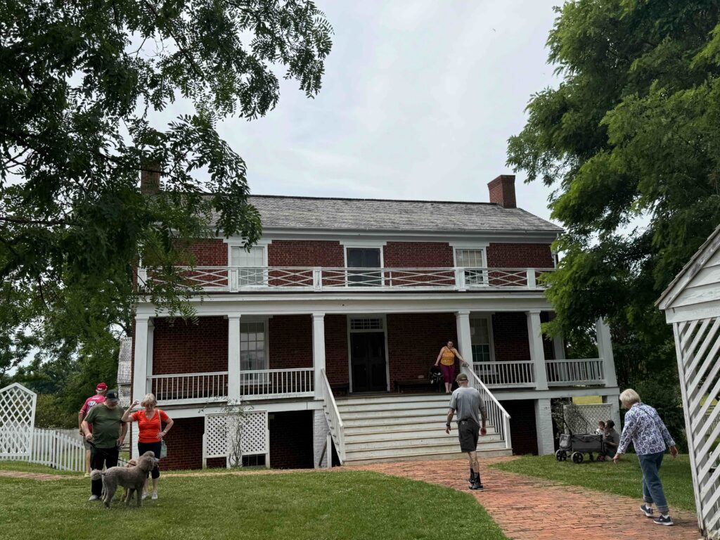
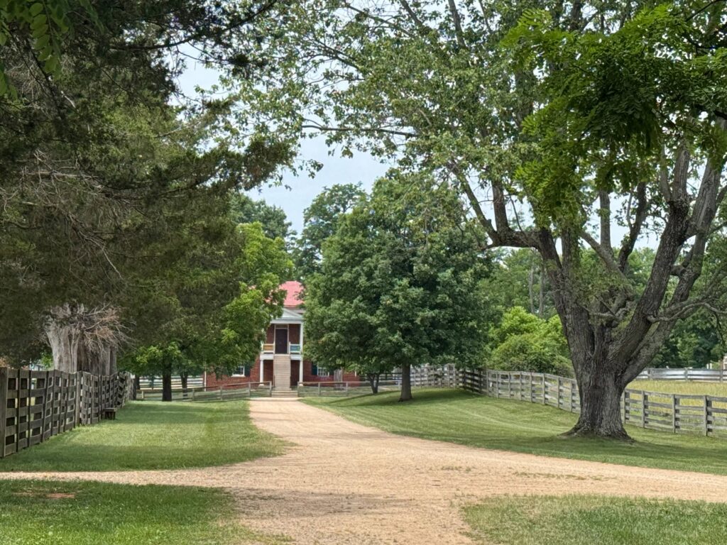
On our last day, we spent the morning at Appomattox, which had been restored to look like it might have appeared in 1865, when Lee and Grant meet. I didn’t know the McClean House, where the papers were signed, had been taken down to be used in the 1893 Chicago World’s Fair and then to be displayed in Washington, DC. But it never made it and the building was rebuilt on its original foundation in 1948. It wasn’t till after World War 2 that the site received federal protection as a National Historic Site. Surprisingly, Appomattox, unlike most Civil War battlefields, remains mostly free of monuments. The exception being my home state of North Carolina. Maybe my relatives felt it appropriate to celebrate the end of this “rich man’s war.”
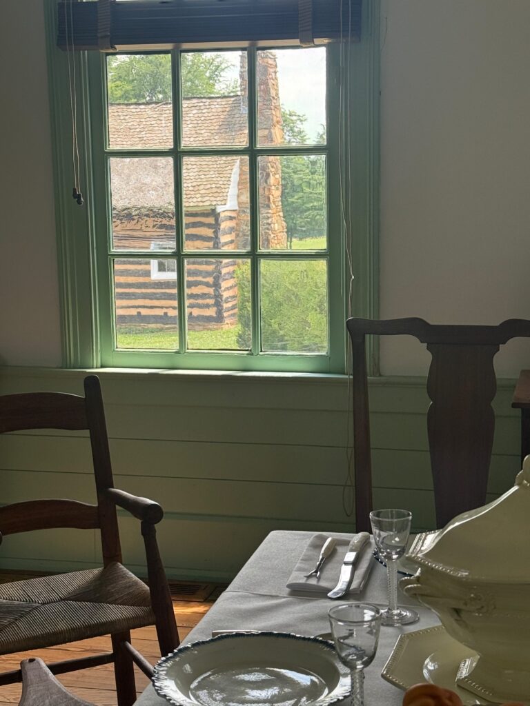
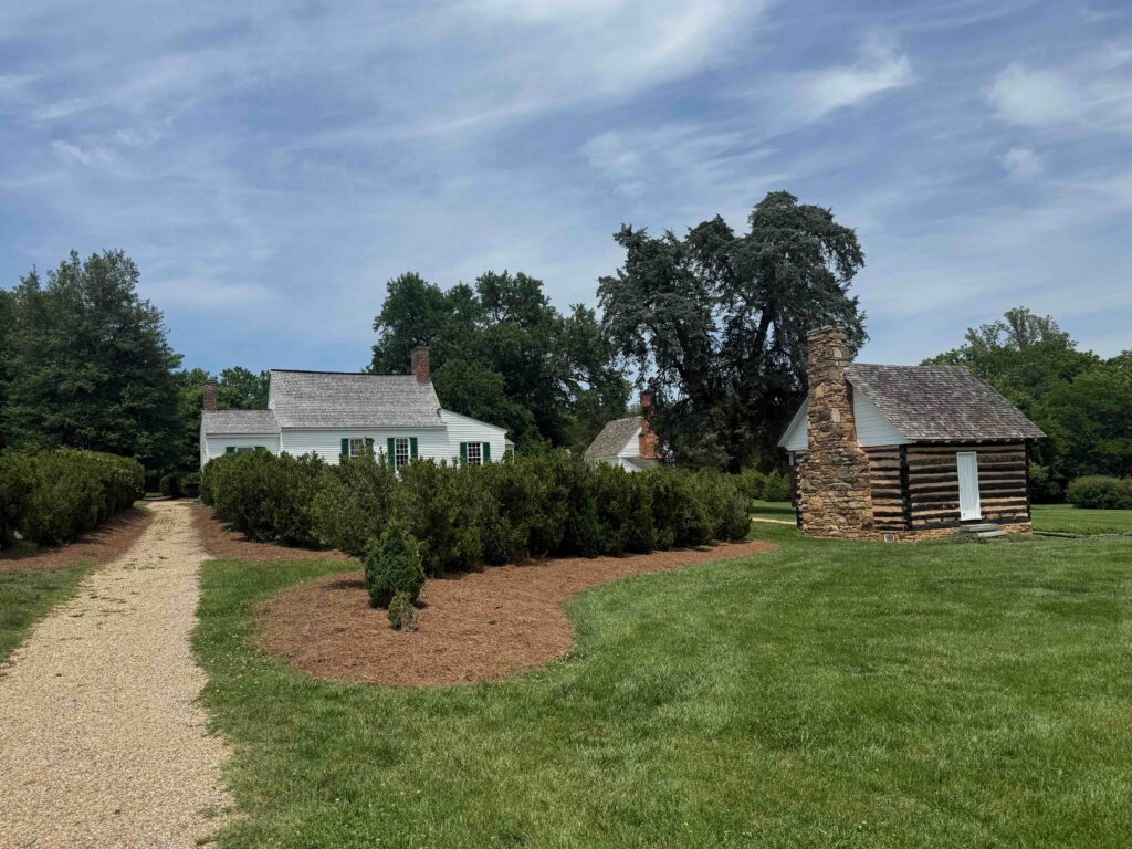
That afternoon before we headed home, we stopped at Patrick Henry’s Red Hill. This was the home he retired to 1794, after his career in politics. Henry died in 1799. The estate is ran by a private foundation who attempts to reclaim the heritage of Patrick Henry. We remember his inflammatory words, “Give me liberty or give me death.” The interpretation along the grounds doesn’t shy away with the ironic view of such liberty for himself the enslaving people. They do a good job on displaying the lives of the slaves on the plantation. A short walk from the Henry home are the restored slave cabins and slave cemetery. Patrick Henry is also known for his work for the adoption of the Bill of Rights.